The other day, Cassie (Cassie!) decided it sounded fun to hike up Hakodateyama (or Mt. Hakodate), the mountain on the southern tip of Hakodate. (My Cassie!) So we did!
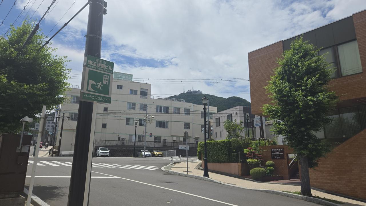
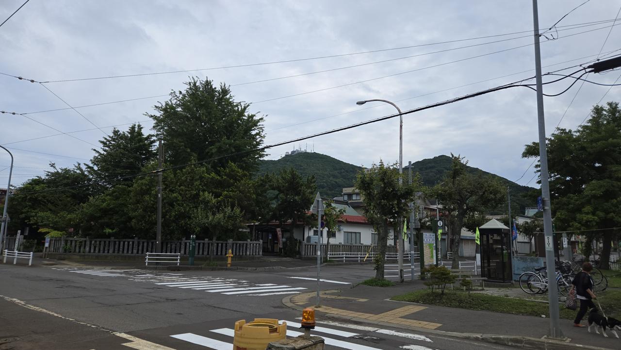
When you don't have a car, the hike starts well before the start of the hike - the tram didn't even quite get us to the base of the mountain, and we had to hoof it about a kilometer to the trailhead.
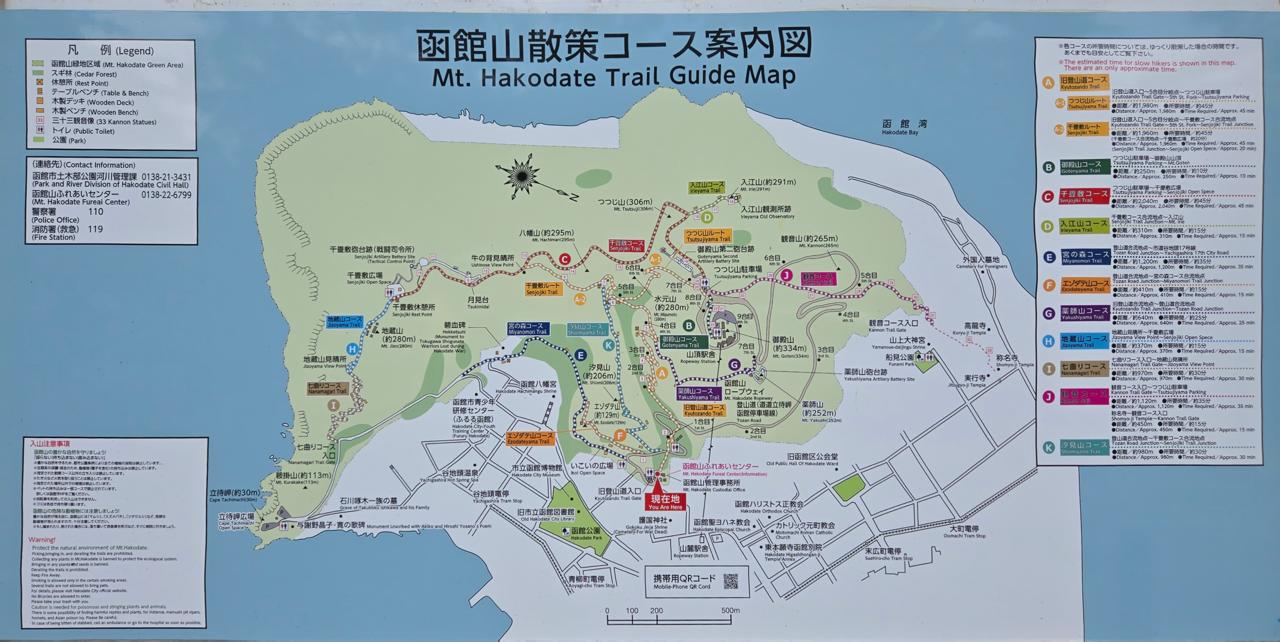
The view of our destination from where we got off the tram.A map of the many trails on the mountain. We hiked A-1, B, and eventually J.
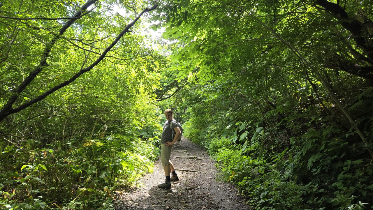
The hike is really not that intense - about 2km, and only ascending ~300 meters. (It's not a real mountain.) What's more, we quickly learned that the trail is very wide and very well maintained - quite a pleasure to walk!
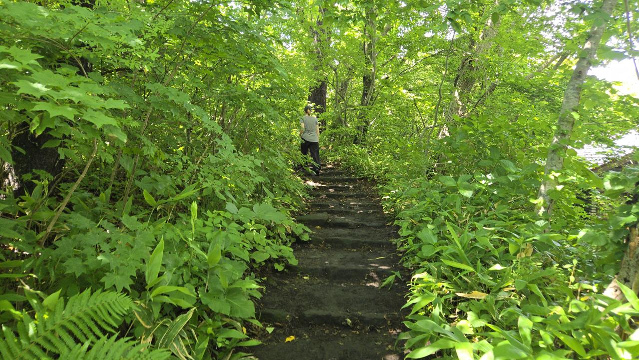
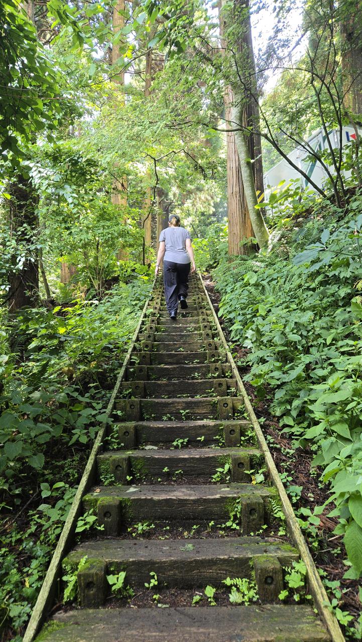
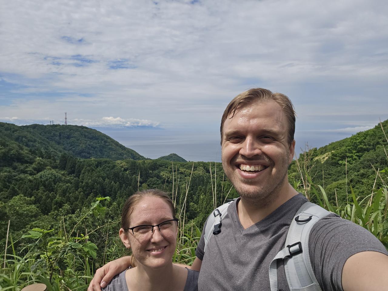
A good example of how nice the trail is. This is even one of the steeper parts!When it gets too steep, there's straight-up stairs, again in very good condition.Most of the hike looks more like this - though I wasn't always posing.We'd been to the top before, but not from the trail - even very close to the observation deck, it's *so green.*
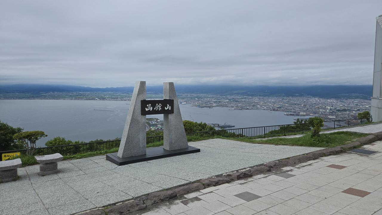
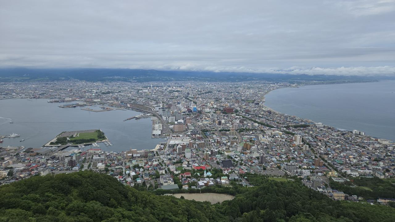
I considered not posting the pictures from the observation deck, but I mean, come on. This is why people come to this city.
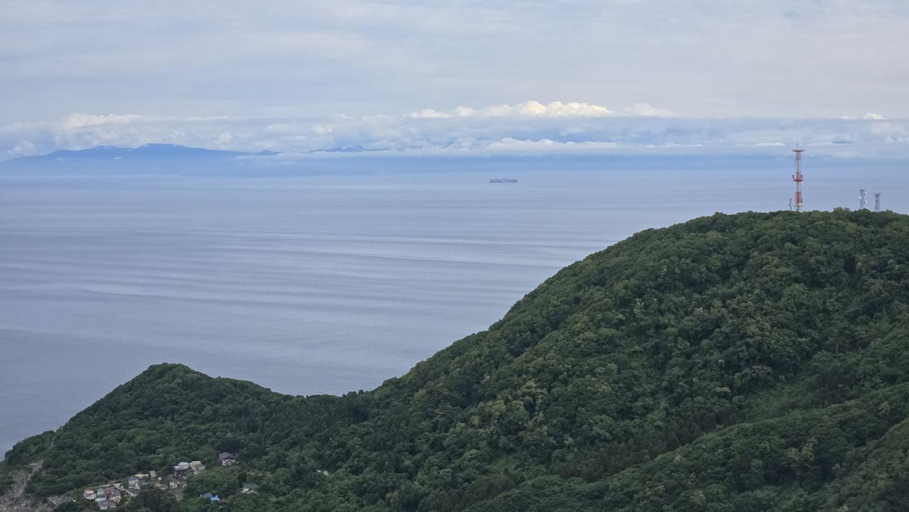
That's the main island of Japan in the distance there. Some people swim to it, though not from here - there's a cape that's closer.
The plan had been to hike up it and then take the ropeway down, but Cassie was in the zone and she suggested (Cassie suggested!) that we hike one of the other trails down. But we didn't quite realize what we were in for...
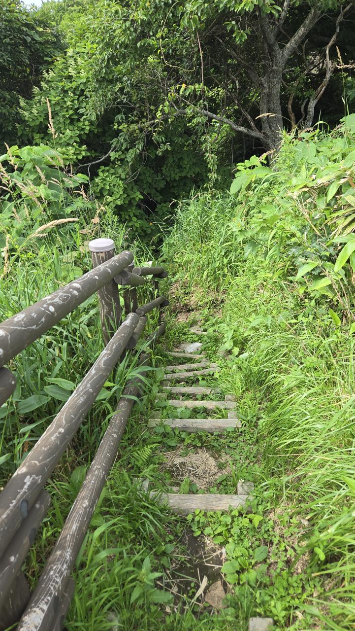
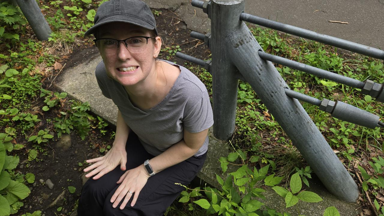
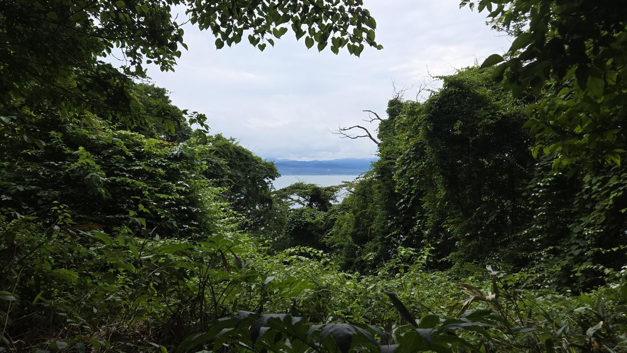
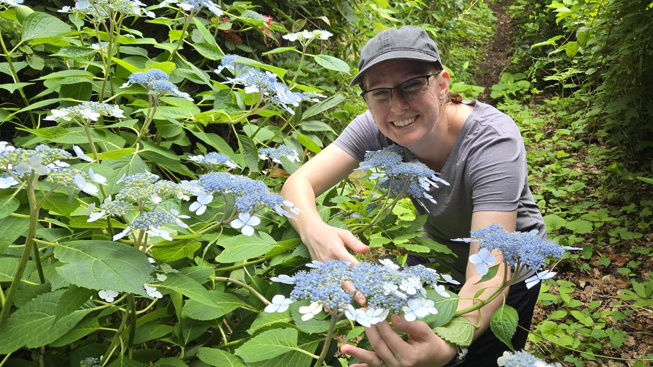
We should've guessed from how the Kannon trail started that it would be different from the Tsutsujiyama trail.This trail was... a bit more overgrown. Gorgeous, though.Cassie was starting to regret it part of the way down, but she kept her spirits up.The hike was wild, but the views were spectacular.Cassie has been falling in love with all the hydrangeas everywhere, and this hike had several about to bloom.The view from the other end of the hike - we went up one side, and down another!